University of Concepcion (Chile), Austral University (Chile) & University of Erlangen-Nürnberg (Germany)
The glaciers in Fuego-Patagonia, spanning from 45°S to 56°S, are some of the leading contributors to the increase in sea levels per unit area worldwide. This region is home to the most extensive ice fields in the Southern Hemisphere, including the Northern and Southern Patagonia Icefields and Cordillera Darwin. Overall, the glaciers in Fuego-Patagonia encompass an area of roughly 22,000 km2, accounting for around 80% of the total glacierized area in South America. Studies suggest that ice masses in this region respond quickly to changes in climatic and environmental conditions. The Fuego-Patagonia region offers a unique opportunity to investigate the response of glaciers and hydro-climatic processes to atmospheric variability and trends in the Southern Hemisphere. Despite significant progress in research on the region, there remain gaps in knowledge, which can only be filled through collaborative efforts.
In the context, QFuego-Patagonia has been developed. The resource is focused on supporting interdisciplinary research and collaboration in Patagonia and Tierra del Fuego, as well as teaching. Themes covered are glaciology, geophysics, atmosphere, bathymetry, and geology. Basemaps are also provided. All data within the package were either contributed by collaborators, sourced from state institutions, or extracted from various databases (e.g. PANGAEA). Sources are clearly delineated in the metadata or attribute table, and must be cited appropriately.
Main outputs:
The main output of the project is the freely downloadable QFuego-Patagonia dataset, which is presented in a QGIS environment and includes all relevant geospatial glacier-related data of the Patagonia and Tierra del Fuego regions.
The resources generated by the project will be included in the next version of the GEO Mountains General Inventory.
Contact: Dr. David Farías-Barahona, University of Concepción: davidfarias [at] udec.cl
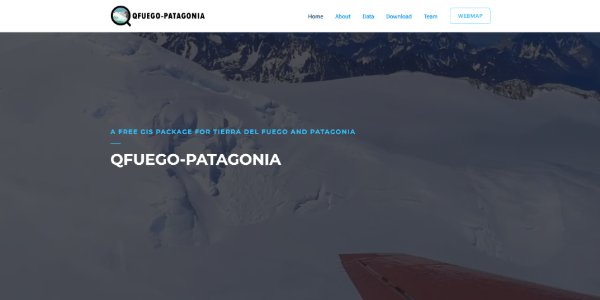
Image from https://qfuego-patagonia.org