Glaciers in the Karakoram provide critical meltwater for villages in the Hunza River Basin and millions in the Indus Basin. This project combines field measurements, UAV surveys, and modelling to monitor glacier melt, map water channels, and identify which glaciers supply water to specific communities. Key outputs include high-resolution glacier maps, ablation measurements, and a 25-year model of glacier melt and runoff, supporting long-term water management and adaptation planning.
The extensive glacier cover and perennial snowfields of the Karakoram are an important source of freshwater both for local communities in the dry mountain valleys and for millions of people in the semi-arid and densely populated Indus Basin. As virtually all mountain villages in the Karakoram depend exclusively on meltwater for irrigation, hydropower, and domestic use, they are extremely vulnerable to the diversion or blockage of glacial meltwater through the destruction of water pipes and canals by landslides, glacier surges, and glacial lake outburst floods. Despite this agricultural and socio-economic dependence on glacial meltwater, neither a compilation of all glaciers that are critical for water supply to individual villages nor an analysis of the most important glaciers in the region in terms of total meltwater supply has yet been undertaken. However, this information is crucial for water management and adaptation strategies, particularly in view of local glacier response to climate change.
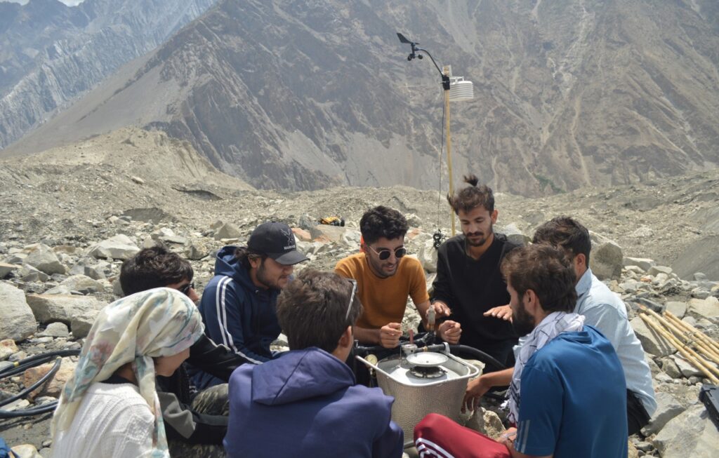
This project aims to identify which glaciers supply water to each village in the Hunza River Basin and to better understand how much meltwater these glaciers produce, both now and in the future. To do so, it integrates glacier mass balance modelling, in-situ measurements, expert knowledge, and geospatial analysis on the location of villages, streams, and water pipes. For model calibration, it measured melt rates on two key glaciers: the debris-covered Ghulkin Glacier and the debris-free Passu Glacier. Both showed exceptionally high ice loss during the extremely warm summer of 2025. Using thousands of drone images, the project team also created a detailed orthophoto and digital elevation model of the Ghulkin Glacier. Finally, water channels and pipes were mapped to indentify all glaciers that directly supply water to individual villages in the Hunza River Basin.
Key Activities & Outputs
- Training local students in glacier monitoring, meteorological measurements, and drone-based mapping.
- Continuous ablation measurements on Ghulkin and Passu Glaciers. Both showed exceptionally high ice loss during the 2025 melt season.
- High-resolution (15 cm) UAV-based orthophotos and digital surface models covering 6 km² of Ghulkin Glacier.
- Database and detailed maps linking meltwater channels to specific villages in the Hunza River Basin.
- Modelled daily surface mass balance and meltwater runoff for all glaciers in the Hunza Basin from 2000–2025 (completion expected mid-2026).
- Ongoing plans for long-term glacier monitoring, glacier volume loss quantification (2020–2025), and integrated analysis of the glacier-water-supply nexus.
Contact
Alexander R. Groos, Friedrich-Alexander-Universität Erlangen-Nürnberg: alexander.groos [at] fau.de
Supported by GEO Mountains under the Swiss Agency for Development and Cooperation (SDC), Adaptation at Altitude Programme (Project Number: 7F-10208.02.01).