This project studied 21 small alpine lakes in Armenia to understand their hydroecology and make historical and new environmental data widely accessible. An interactive geoportal was created, combining field measurements, historical records, and satellite-derived data, revealing changes in water quality, biota, and methane emissions under climate and human pressures.
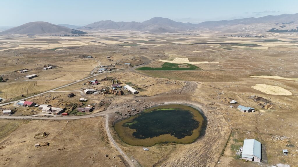
Small alpine lakes in the Lesser Caucasus are highly vulnerable to climate change and anthropogenic impacts such as deforestation, overgrazing, and irrigation, yet hydroecological data for these lakes are scarce and scattered across inaccessible or hard-to-use literature. This project aimed to collate existing data, conduct new field measurements, and make all information publicly accessible through an interactive geoportal. Between July 2024 and September 2025, 21 small lakes were studied, including bathymetric, hydrochemical, hydrophysical, and hydrobiological surveys. The project also conducted palynological analysis, water/biota/sediment sampling, and continuous monitoring at key lakes. All data were digitized, analyzed, and integrated into a NextGIS-based geoportal, providing eight layers of information such as hydrochemistry, isotopes, methane emissions, nutrients, and meteorological variables.
Key Activities & Outputs
- New data collected for 16 lakes, including hydrochemical, biological, and sediment measurements.
- First-time measurements of CH₄ emissions, stable water isotopes, and CDOM for several lakes.
- Creation of a comprehensive database and interactive geoportal (https://armenian-small-mountain-lakes.nextgis.com/resource/1/display?panel=layers) making historical and new data widely accessible.
- Significant changes in zooplankton abundance were observed since the mid-20th century, and methane emissions were higher than previously estimated.
- Results have been presented at multiple international conferences, and a paper summarizing the hydroecological status of small Armenian lakes is in preparation for Mountain Research and Development.
Next Steps
Future work will continue field monitoring, expand the database, integrate pollen and ecological studies, develop lake “passports” with standardized information and photos, and promote education and community engagement. Further development of the geoportal will improve visualization and open-access usability, while interdisciplinary collaboration with social and environmental specialists will support sustainable lake management.
Contact
Irina Fedorova, Institute of Botany, NAS RA: i.fedorova [at] botany.am
Supported by GEO Mountains under the Swiss Agency for Development and Cooperation (SDC), Adaptation at Altitude Programme (Project Number: 7F-10208.02.01).