This request for proposals invites concept papers to explore innovative approaches and thinking to help relevant organizations speed their transition to climate-resilient, sustainable economic growth through improved policy and practice. The anticipated outcome of the grant activities is to stimulate the innovative use of geospatial tools and information to translate science into decision support systems and practice that addresses the development challenges posed by climate stresses and their impact in the HKH region.
Deadline 25 March 2022
Description of the Small Grants Programme
1.1.1 Background
A joint initiative of National Aeronautics and Space Administration (NASA), U.S. Agency for International Development (USAID), and leading regional organizations in Asia, Africa, and Latin America, SERVIR partners with countries in these regions to address critical challenges in climate change, food security, water and related disasters, land use, and air quality. Using satellite data and geospatial technology, SERVIR co-develops innovative solutions through a network of regional hubs to improve resilience and sustainable resource management at local, national, and regional scales. Useful resources to find out more about SERVIR’s approach to service planning include the Service Planning Toolkit and SERVIR’s Strategic Plan for 2020-2025.
Implemented by the International Centre for Integrated Mountain Development (ICIMOD) as a regional hub, SERVIR Hindu Kush Himalaya (SERVIR-HKH) focuses on its member countries. SERVIR-HKH is housed under ICIMOD’s Mountain Environment Regional Information System (MENRIS) Regional Programme, which supports integration and analysis of multidisciplinary data, disseminates specific relevant information through the use of innovative information systems, and supports the effective use of information and knowledge products for the development and environmental decision-making.
1.1.2 About ICIMOD
The International Centre for Integrated Mountain Development (ICIMOD) is a regional intergovernmental learning and knowledge-sharing centre based in Kathmandu, Nepal that serves the eight regional member countries of the Hindu Kush Himalayas – Afghanistan, Bangladesh, Bhutan, China, India, Myanmar, Nepal, and Pakistan. Globalization and climate change have an increasing influence on the stability of fragile mountain ecosystems and the livelihoods of mountain people. ICIMOD aims to assist mountain people to understand these changes, adapt to them, and make the most of new opportunities while addressing upstream-downstream issues.
We support regional transboundary programmes through partnerships with regional partner institutions, facilitate the exchange of experience, and serve as a regional knowledge hub. We strengthen networking among regional and global centres of excellence. Overall, we are working to develop an economically and environmentally sound mountain ecosystem to improve the living standards of mountain populations and to sustain vital ecosystem services for the billions of people living downstream now, and for the future.
1.1.3 Programme objectives
The objective of the SERVIR-HKH grants programme is to help grow the network of government agencies, universities, and institutions in the HKH region that utilize geospatial tools and information to improve decision-making related to sustainable mountain development with a special focus on climate change and adaptation, vulnerability, or mitigation in relation with agriculture, food security, and disaster risk reduction. The anticipated outcome of the grant activities is to stimulate the innovative use of geospatial tools and information to translate science into decision support systems and practice that addresses the development challenges posed by climate stresses and their impact in the HKH region.
1.1.4 Overview
This RFP invites concept papers to explore innovative approaches and thinking to help relevant organizations speed their transition to climate-resilient, sustainable economic growth through improved policy and practice. Currently, SERVIR-HKH has active services in agriculture and food security, land cover and land use change and ecosystems, water resources and hydro-climatic disasters, weather and climate and air quality. The Regional Drought Monitoring And Outlook System provides current conditions and seasonal outlook of drought to support cropping practices and food security management. The crop mapping service develops in-season crop area assessment for major crops in Bangladesh, Nepal, and Pakistan. On disaster risk reduction, SERVIR-HKH has active services to provide riverine and flash flood early warning, extreme weather forecasting, and synthetic aperture radar (SAR) satellite-based flood inundation monitoring. SERVIR-HKH is also working to develop flood inundation forecasting and crop yield forecasting services.
The SERVIR-HKH programme seeks to broaden its network of organizations that work with geospatial tools and information by funding proposals that can enhance the existing services and focus on the last-mile connectivity of the services. Proposals that leverage existing services to address current development limitations are encouraged. Innovative ideas to extend SERVIR services to integrate socio-economic data to support damage and/or risk assessments would be encouraged.
The proposed project needs to be within the framework of the following themes (Table-1) and must confirm the ‘programme objectives’ (see Section-1.1.3) described in this document.
Table 1: Thematic areas and topics for the grants programme
| Theme | Examples of topics on geospatial and/or Earth observation-based applications, tools, and methodologies [Please note these are just examples for reference and the applicants are encouraged to select the topic/area based on their competencies, original ideas, and innovations] | |
| Agriculture and food security | Innovative ideas to use drought monitoring and warning information; capacity development of farmers and stakeholders; food security management; crop suitability analysis; information and statistics on crops, weather pattern, rangeland, livestock, and other related agricultural resources | |
| Disaster risk reduction and emergency responses |
Innovative application for flood, flash flood, thunderstorm; lightning impact assessment and use of forecast for mitigation; applications and information systems for flood management and vulnerability assessments; disaster preparedness, disaster management, disaster and hazard risk reduction, and emergency responses |
Award information
2.1 Estimated funding level
ICIMOD/SERVIR-HKH may choose to fully fund or incrementally fund the chosen application(s). SERVIR-HKH expects to award 4-5 grants. Individual grants will not exceed USD 30,000. Applicant(s) are encouraged to reflect in-kind or cash contributions to the project implementation. The number of awards and amount of available funding are subject to change and SERVIR-HKH reserves the right to make no awards.
For this call, applications will be accepted from institutions based in Bangladesh, Nepal, and Pakistan. Applicants must demonstrate the ability to manage grants or projects in the proposed focus country or region, as well as succeed in addressing the SERVIR-HKH programme’s development goals.
2.2 Anticipated start date and implementation period
ICIMOD/SERVIR-HKH anticipates the start date of 16 May 2022 with an implementation period of 24 months and up to two additional months for closeout and final reporting.
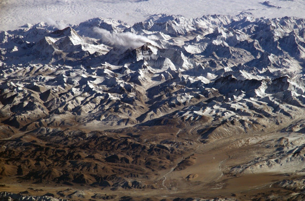
Cover image by Pixabay user WikiImages.