Supported by a GEO Mountains Small Grant, the REACH project delivers a regional-scale assessment of rock and ice avalanche risk to hydropower infrastructure across High Mountain Asia, providing an evidence base for safer planning and disaster risk reduction.
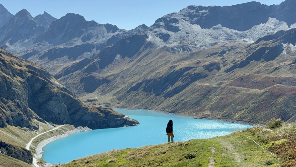
Across High Mountain Asia, rivers play a central role in powering homes, industries, and national economies. In recent decades, billions of dollars have been invested in hydropower infrastructure across the region, supported by institutions such as the World Bank and the Asian Development Bank. At the same time, these high mountain environments are increasingly affected by cascading natural hazards.
Rock and ice avalanches, and the debris flows they can trigger, pose a significant threat to hydropower installations. The 2021 disaster in Chamoli, India, destroyed two hydropower plants, claimed more than 200 lives, and generated a debris flow that travelled over 50 km downstream. In 2018, a similar event in Sedongpu affected thousands of people. As climate change accelerates glacier melt and permafrost thaw, slope instability is increasing in many parts of the region.
A project supported by a GEO Mountains Small Grant is now contributing new evidence to better understand and manage these risks.
A Vital Regional Risk Assessment
The project, Risk Assessment for Hydropower Projects from Rock and/or Ice Avalanches in High Mountain Asia (REACH), sought to systematically assess where cascading rock and ice avalanche hazards may threaten hydropower infrastructure, and which installations are most exposed.
The multinational research team compiled a comprehensive regional dataset covering nearly 1,900 existing and planned hydropower projects across High Mountain Asia. Using GIS-based and remote sensing approaches, they delineated potential avalanche source areas, modelled cascading hazard pathways, and evaluated exposure for each installation.
The results indicate that more than half of the assessed hydropower projects are exposed to potential cascading rock and ice avalanche hazards. A substantial number are located in catchments where glacial lakes may further amplify downstream impacts.
These findings are presented in two manuscripts currently under review at scientific journals. The research provides an evidence base to inform hydropower planning, risk assessment, and disaster risk reduction strategies in the region.
From Research to Practical Application
In addition to the scientific publication, the project emphasises open access and usability. The team developed a detailed geodatabase containing spatial and attribute information for each hydropower installation, alongside a quantified assessment of potential avalanche-related threats. This dataset will soon be publicly released via Zenodo, accompanied by an interactive ArcGIS Story Map to support visual exploration of the results by researchers, practitioners, and decision-makers.
This approach is intended to strengthen risk-informed hydropower planning and support more resilient infrastructure development across High Mountain Asia. A regional workshop is also planned for May 2026 in Kathmandu, Nepal, bringing together scientists, practitioners, and policy stakeholders to discuss the findings and explore implications for cryosphere-related risk management.
Building Capacity and Collaboration
For project lead Dr. Yan Zhong, a postdoctoral researcher at the University of Geneva, the GEO Mountains Small Grant also represented an important professional milestone:
“This Small Grant arrived at a pivotal moment, and this project became the first I led as a PI. It allowed me to build strong collaborations with colleagues across Himalayan countries, enhanced the quality of our research outputs, and strengthened my leadership and project management skills. Through this support, our team developed the most up-to-date and detailed hydropower dataset for High Mountain Asia – the first regional-scale dataset worldwide covering dams, intakes, reservoirs, and powerhouses. This dataset will soon be publicly available, along with an interactive ArcGIS Story Map for dynamic exploration. We hope this work will support future scientific research, safer hydropower planning, risk assessment, and disaster risk reduction across the region, providing a valuable resource for both researchers and practitioners.”
The REACH project illustrates how targeted seed funding can enable both scientific advancement and capacity development. By combining regional collaboration with cutting-edge geospatial analysis, the team has produced a practical resource to support informed decision-making in a complex and evolving risk landscape.