News
- Details
- Category: GEO Mountains
On 13 October 2022, Dr. James Thornton gave an online presentation on behalf of GEO Mountains as part of the course/webinar series "Analysis of vegetation dynamics data in the Andes in the current scenario of global change”. The course was coordinated by CONDESAN, and supported by GEO Mountains.
- Details
- Category: GEO Mountains
This month over 800 mountain researchers came together at the heart of the Tyrolean Alps in Innsbruck, Austria for the 2022 International Mountain Conference (IMC), the largest of its kind featuring over 60 events focusing on a broad range of mountain research topics from across all disciplines. GEO Mountains took part in two main sessions at #IMC22 and enjoyed the opportunity to connect with wide cross-section of mountain researchers from multiple regions and disciplines.
- Details
- Category: GEO Mountains
A new study reveals the impact of data choices in quantifying global and regional mountain populations and their associations with environmental factors in a transparent, reproducible, and comparative way.
- Details
- Category: GEO Mountains
This GEO Mountains workshop sought to better understand the current interdisciplinary 'data landscape' across the Hindu Kush Himalayas.
- Details
- Category: GEO Mountains
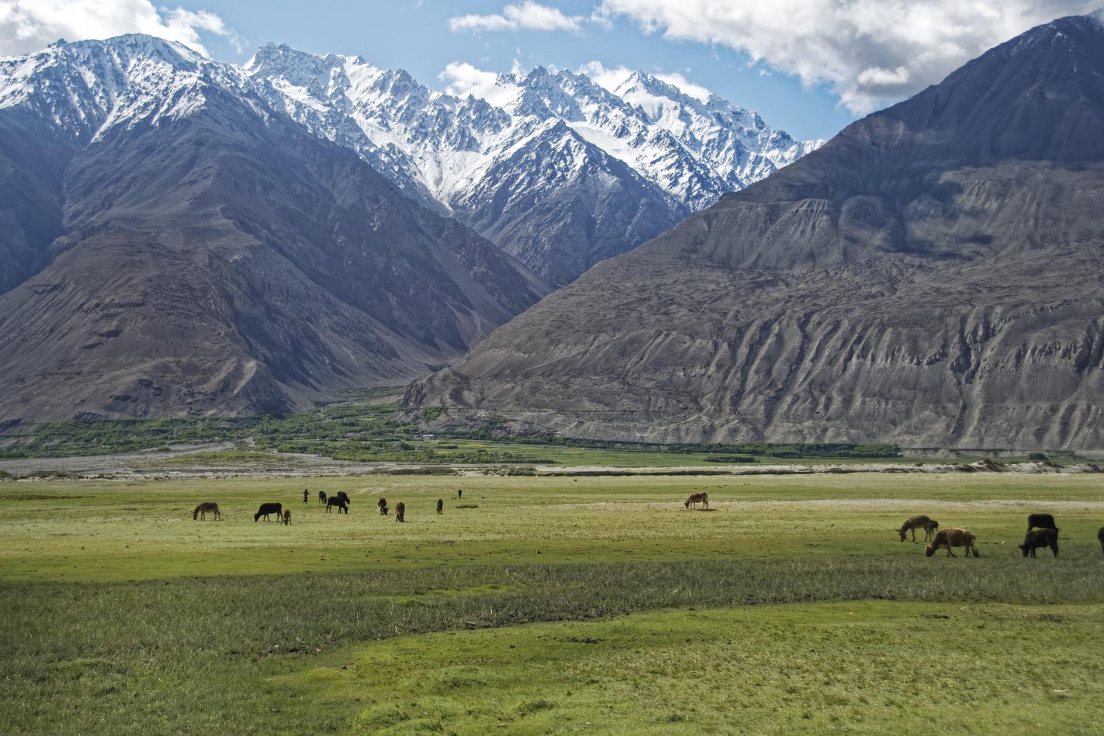
On 29 June 2022, Dr. James Thornton attended the World Biodiversity Forum 2022 in Davos, Switzerland on behalf of GEO Mountains. James presented work that was recently conducted by a group of collaborators exploring the distribution of human populations in the world’s mountains.
- Details
- Category: GEO Mountains

Under the theme 'Global Action for Local Impact', the GEO Virtual Symposium 2022 explored how the portfolio of Group on Earth Observations (GEO) products and services can provide insights and evidence for policy development and decision making.
Dr. James Thornton contributed views from GEO Mountains regarding our current and possible future integration with the Group on Earth Observations System of Systems (GEOSS), including the functionality that the GEOSS Portal would have to possess to be most useful to our community.
- Details
- Category: GEO Mountains
The GEO Mountains General Meeting (May 2022) provided an opportunity to bring members of the Initiative together, share recent progress, and discuss plans for the 2023-2025 GEO Work Programme period.
- Details
- Category: GEO Mountains
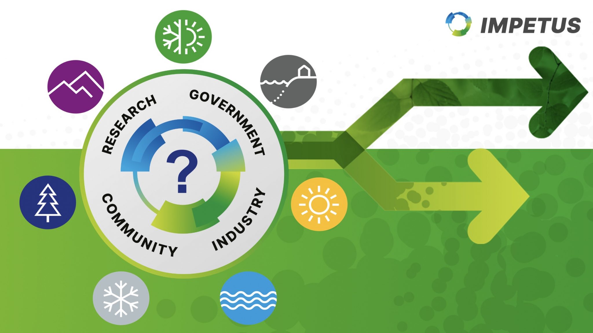
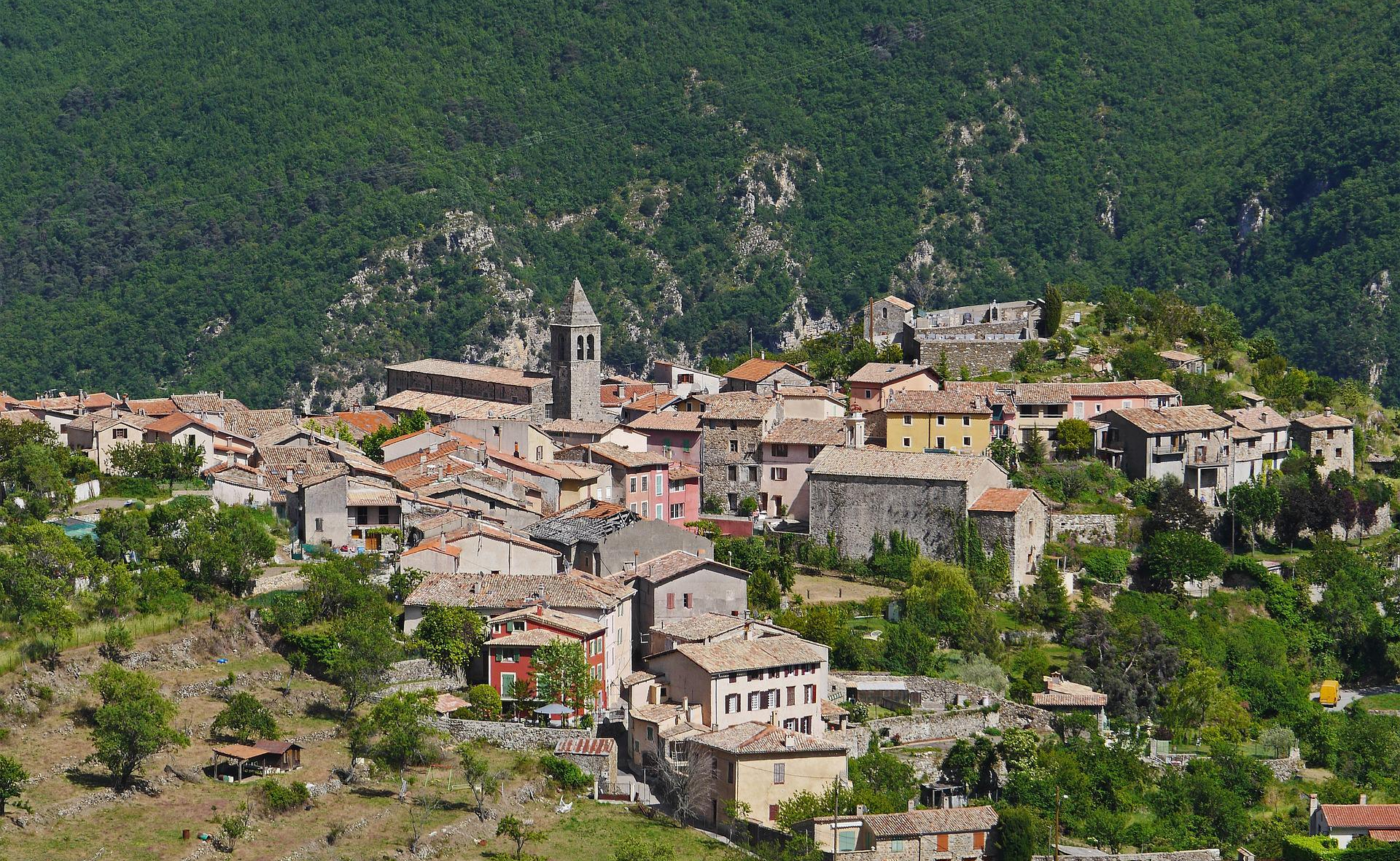
Help shape climate change adaptations in Valle dei Laghi and the wider Trentino-Alto Adige region by providing your expertise via this IMPETUS survey.
Residents and experts working in the Valle dei Laghi and wider Trentino-Alto Adige region have the opportunity to contribute to a major project that is testing and creating solutions to help the valley adapt to the impacts of climate change.