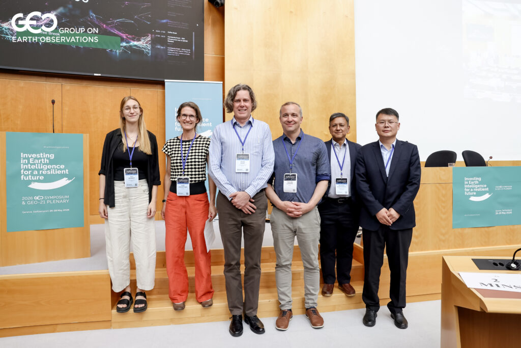
At the GEO Symposium in Geneva, GEO Mountains and WOCAT convened a community event exploring the specific challenges of monitoring land degradation and restoration across mountain regions. Organised through the Mountain Research Initiative (MRI) and the Centre for Development and Environment (CDE), University of Bern, the session brought together presenters and panelists from GEO Mountains, WOCAT, ICIMOD, CBAS and GEO-LDN to discuss how satellite-based monitoring approaches can better account for the ecological and social complexity of mountain landscapes.
A central theme throughout the discussion was that while Earth Observation (EO) technologies have transformed the ability to monitor environmental change globally, interpreting land degradation in mountain regions remains far from straightforward.
Participants highlighted both technical and conceptual challenges. Mountain environments present well-known difficulties for satellite monitoring due to steep terrain, cloud cover, fragmented land-use systems, and shadow effects. However, speakers also emphasised that many of the biggest challenges relate not only to data availability, but also to interpretation, including how degradation itself is defined and understood across different environmental and social contexts.
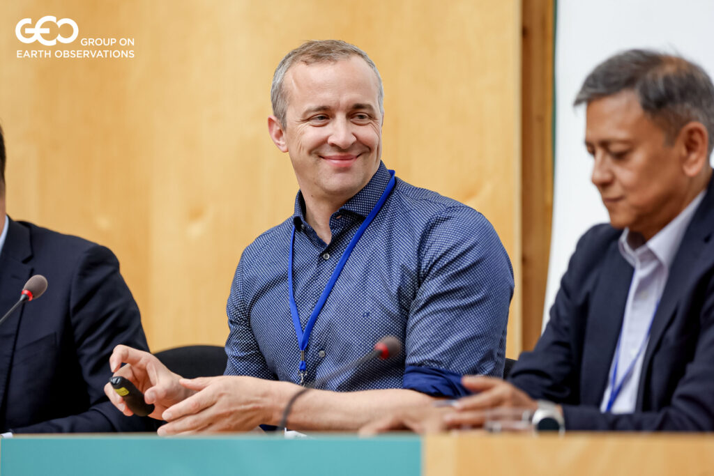
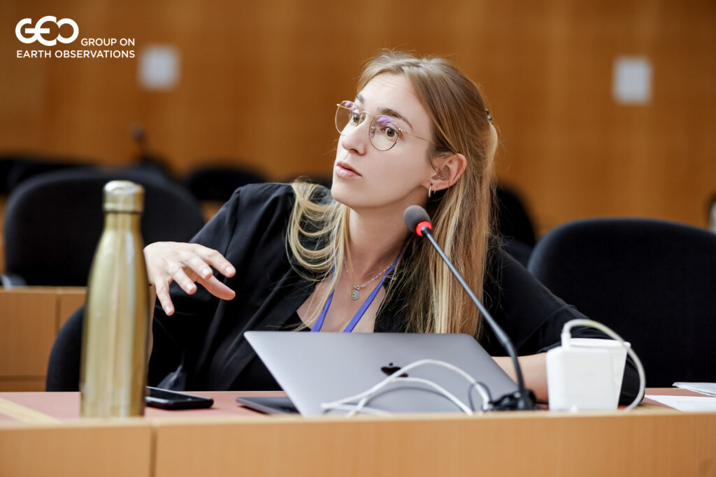
Image credit: Group on Earth Observations (GEO).
One example discussed showed how EO dataset can indicate a “greening” of mountain grazing lands, a signal associated with vegetation recovery. However, field observations and discussions with pastoralist communities revealed that much of this greening was linked to the spread of invasive species, while local land users themselves perceived the grasslands as increasingly degraded. The example highlighted the importance of ground-truthing EO-derived indicators and integrating local and Indigenous knowledge into land degradation assessments.
The session also explored how different methodologies and datasets can produce dramatically different estimates of degradation. One comparison presented during the event showed that depending on the dataset and analytical approach used, global land degradation estimates for SDG 15.3.1 reporting could vary from approximately 7% to 26%. Participants noted that such differences raise important questions around confidence, comparability, and the interpretation of global monitoring indicators, particularly in complex mountain systems.
The discussion also pointed to a wider challenge within SDG reporting. SDG Targets 15.3 and 15.4 both include indicators relevant to land degradation: SDG 15.3.1, on the proportion of land that is degraded over total land area, and SDG 15.4.2b, on the proportion of degraded mountain land. These indicators are also overseen by different custodian agencies, with UNCCD responsible for 15.3.1 and FAO responsible for 15.4.2. In practice, this can make methodological harmonisation and data comparability more challenging, particularly when definitions, datasets and reporting processes are not fully aligned. This risks producing inconsistent estimates and weakening the coherence of global land degradation monitoring under the 2030 Agenda.
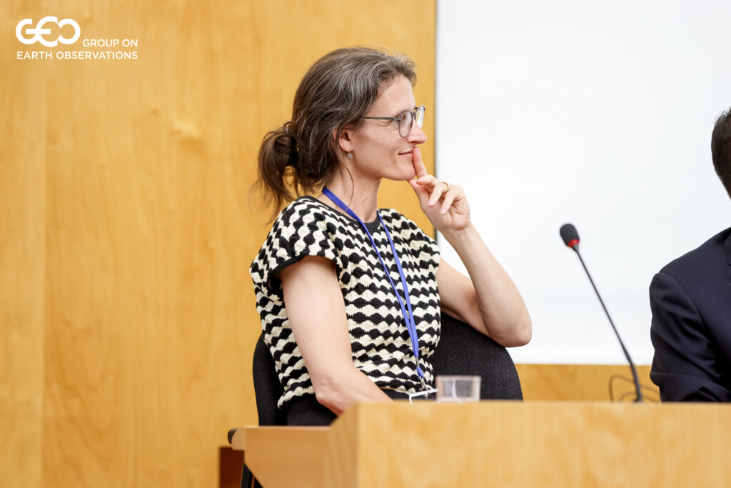
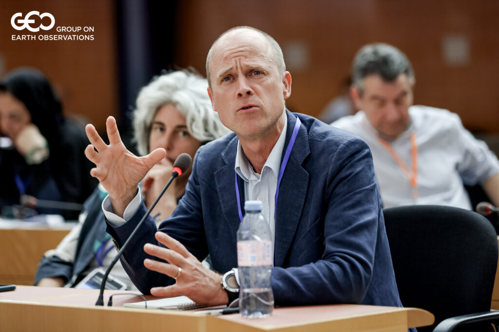
Image credit: Group on Earth Observations (GEO)
Rather than diminishing the value of Earth Observation, these challenges highlight the need for more integrated and context sensitive monitoring approaches. Advances in EO, cloud computing, participatory mapping, and increasingly accessible geospatial tools are creating new opportunities to compare, validate, and interpret different sources of information. Participants stressed the importance of combining satellite imagery with field-based observations, participatory approaches, and local expertise in order to support more meaningful and context-sensitive assessments of land degradation and restoration.
The event also highlighted growing interest in strengthening collaboration between the mountain research and GEO-LDN communities going forward. Panelists and participants noted the value of bringing together expertise from Earth Observation, sustainable land management, policy, and mountain research to better address the specific monitoring and governance challenges facing mountain regions.