

Turning Earth observation into action: At the GEO Mountains Youth Ideathon 2026, early-career researchers and practitioners worked alongside experts and partner organisations to develop practical solutions to real-world disaster risk reduction challenges facing mountain regions.
From 2–8 July 2026, twelve early-career researchers and practitioners gathered in Obergurgl, Austria, for the GEO Mountains Youth Ideathon. The week-long, hands-on programme was designed to turn Earth observation data into solutions for disaster risk reduction (DRR) in mountain regions.
A Global Programme
Organised by GEO Mountains, the Mountain Research Initiative (MRI), and the Group on Earth Observations (GEO), in collaboration with the Regional Mountain Conference (RMC), the Ideathon brought together participants representing the five Adaptation at Altitude focal regions: the Andes (Peru, Ecuador), Central Asia (Afghanistan), the Hindu Kush Himalaya (Nepal, India), East Africa (Uganda), and the Caucasus (Georgia, Azerbaijan), alongside colleagues from Italy and Switzerland.
The programme builds on the established GEO Youth Ideathon 2025 model and directly responds to needs identified through GEO Mountains’ regional consultations during Adaptation at Altitude Phase 1: stronger technical skills, better science communication, and more effective engagement at the science-policy interface. It also contributes to the GEO Mountains Implementation Plan Post-2025 by advancing youth and early-career engagement, as well as to GEO’s broader post-2025 strategy on capacity building and cross-generational collaboration.
From Data to Decisions: Four Challenges
Working in teams, participants tackled four concrete DRR challenges proposed by problem-owners from partner institutions:
- Transforming multi-source observations into actionable knowledge for landslide risk reduction, with Beihang University and the UN-affiliated Regional Centre for Space Science and Technology Education in Asia and the Pacific.
- Safer hydropower development in the Hindu Kush Himalaya, integrating hazard and exposure assessment, with the University of Geneva.
- Evidence-based decision support for land degradation neutrality in Madagascar, Lesotho, or Sri Lanka, with WOCAT and the Centre for Development and Environment (CDE) of the University of Bern.
- Indigenous Earth observation for water and land in South Dakota’s Black Hills, with the GEO Indigenous Alliance and Space4Innovation.
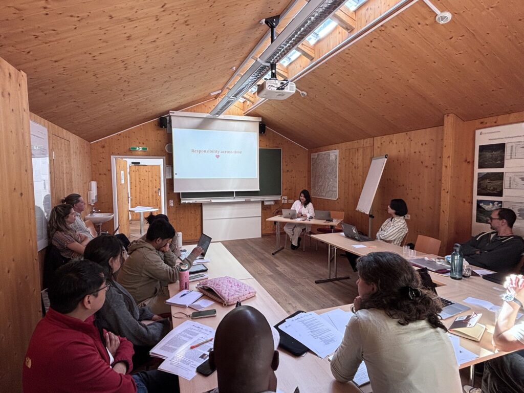
Over the course of the week, teams moved from problem framing to prototype development: conceptualising solutions, refining them directly with problem-owners, and developing tangible outputs ranging from risk maps to decision-support mock-ups.
Learning By Doing: From Rock Glaciers to Policy Briefs
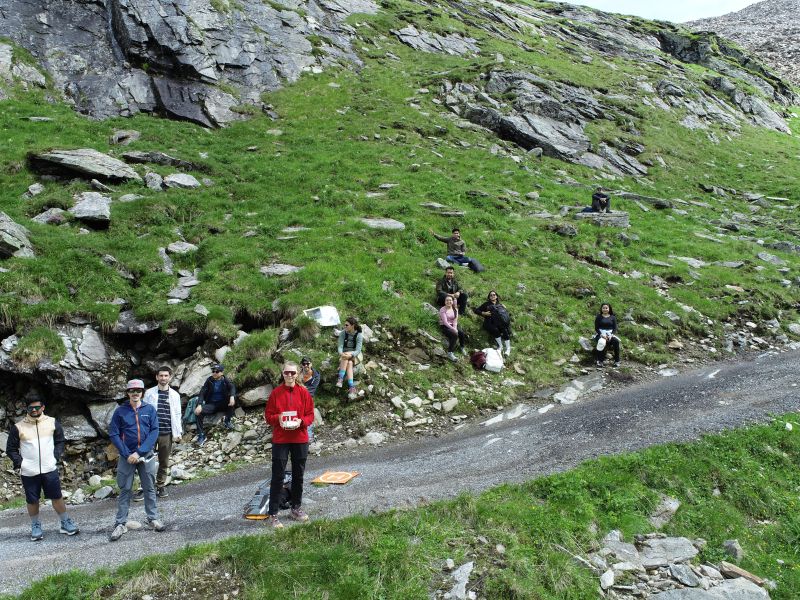
The week combined technical training, including a session on remote-sensing-based hazard monitoring by Dr. Lukas Winiwarter (University of Innsbruck), with a field excursion led by Mia Ohlrogge to the Äußeres Hochebenkar rock glacier. There, a live drone demonstration illustrated how high-resolution 3D data can support hazard monitoring in practice.
Another highlight was the science-policy session with the Permanent Secretariat of the Alpine Convention, where participants learned how to translate research into policy briefs and collaboratively drafted recommendations on mountain disaster risk reduction. These recommendations spanned the integration of community knowledge, mandatory multi-hazard risk assessments for hydropower, geospatial tools for land restoration, and stronger Indigenous participation in land-use decisions.
Connecting with the Wider Mountain Community
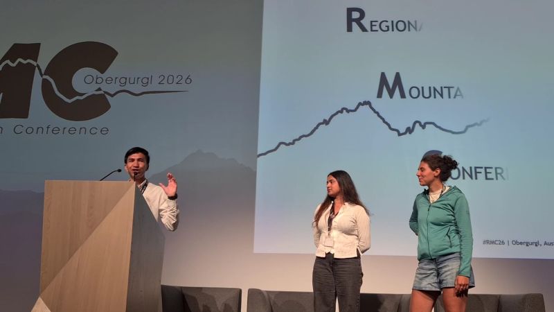
The second half of the week coincided with the Regional Mountain Conference (RMC) 2026, where participants presented their solutions during a dedicated workshop, exchanged ideas with the broader mountain research and policy community, and took part in regional breakout discussions on the transferability of their solutions across mountain regions worldwide.
What’s Next
Each team is now finalising a ‘Mini Knowledge Package’ documenting the context, methods, and data sources behind their solution for future reuse and replication. These packages are expected to be published via the GEO Knowledge Hub. An aftermovie and event summary blog post are also expected in the coming months, further amplifying the voices and innovations of this new generation of mountain professionals.
For more details on the programme and the challenges and solutions developed, you can read the full workshop report.